01
Capture
Record streets during regular fleet routes.
Turn everyday driving footage into mapped road defects your team can review and prioritize.
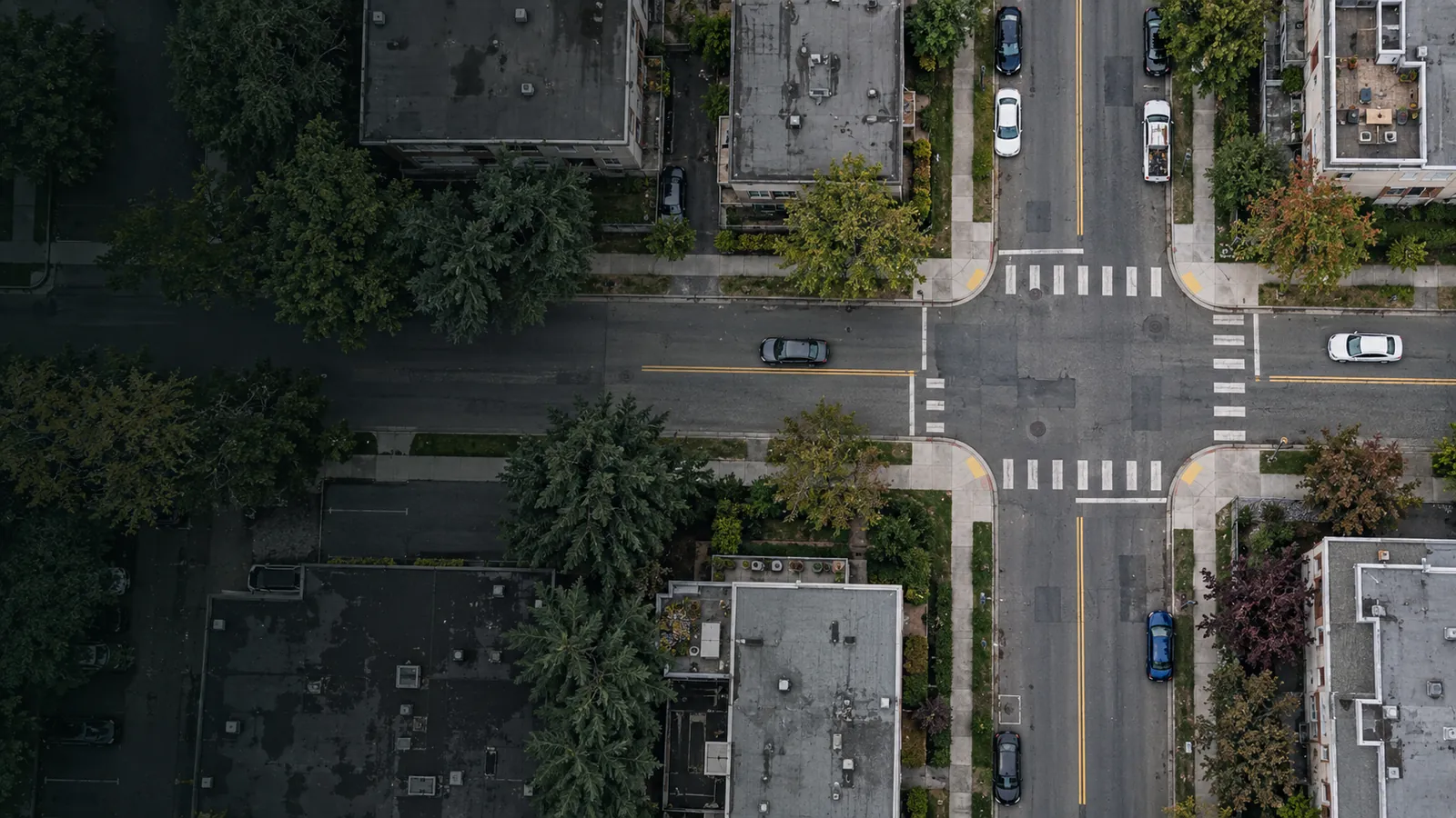
Road conditions change between surveys. Turn footage from your existing fleet into mapped defects your team can review and prioritize.
Record streets during regular fleet routes.
Identify, classify, and map road defects.
Approve findings and export reviewed records.
Mapped defects with photos and severity.
Your team approves the final record.
Export reviewed defects for planning and GIS.
Illustrative interface · Demo data.
Choose a pilot area, capture footage, and review the results with your team.
View mapped road defects, compare conditions across your network, and prioritize the areas that need work.
See real-world conditions, understand the context, and plan more productive site visits with city teams.
Illustrative interface
A defined area. Your fleet. Findings your team can review.
Agree on routes and what the pilot will assess.
Record footage during regular fleet routes.
Assess coverage, useful findings, and workflow fit.
A phone or dashcam on the windshield of vehicles you already run, such as waste, transit, bylaw or public works trucks. Standard forward-facing cameras recording at 1080p work best. We confirm the camera and mounting setup with you at the start of a pilot.
No. A condition survey gives you a rated snapshot of the whole network, often every few years. Roadlens fills the time between surveys with mapped surface defects from footage your fleet already collects. It does not measure structural capacity or ride quality, so many cities will use both.
Every finding comes with its photo, location, type and severity. Your staff approve or reject each one in a review queue, and only approved findings are exported or turned into work.
Approved findings as CSV and GeoJSON, ready for GIS, spreadsheets or a work order system. Your data stays yours, in open formats.
Yes. A paving contractor can take part, for example by helping scope site visits from the reviewed findings. The city always reviews the findings and decides how any repair work is procured.
Anything else? Ask us directly.